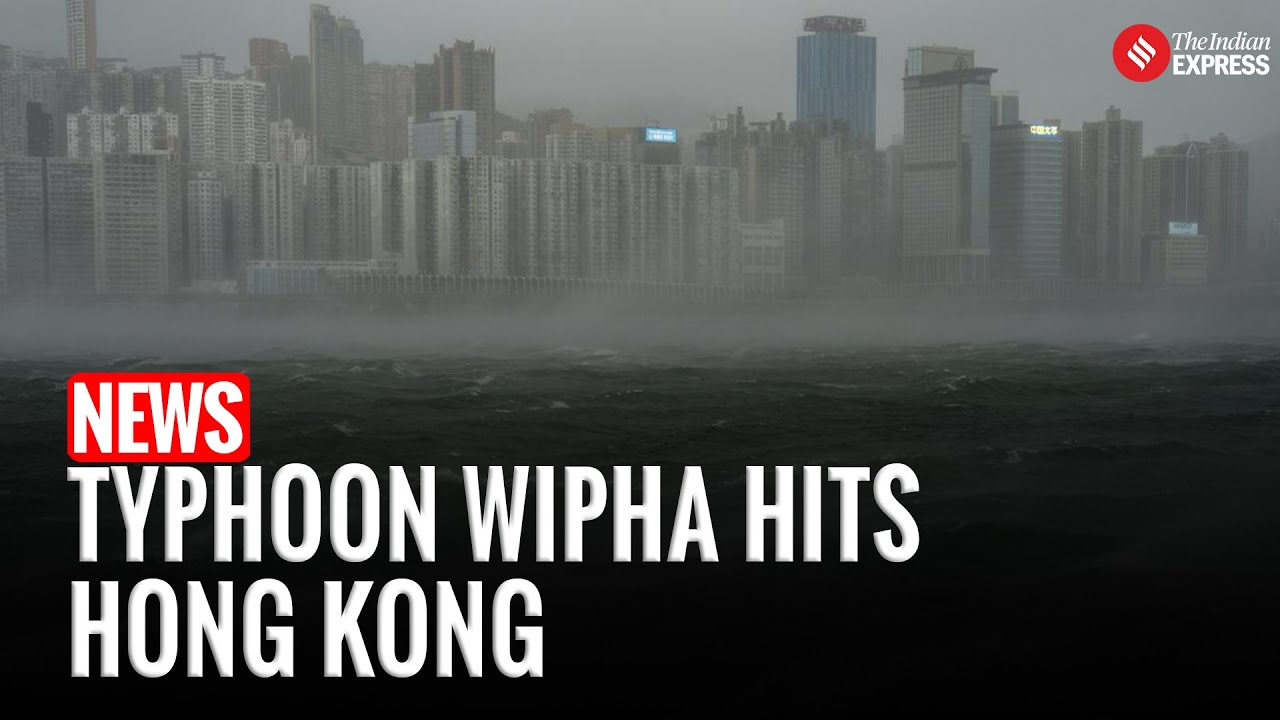
Here’s an update on Typhoon Wipha’s impact on Hong Kong and southern China…

️ What happened
-
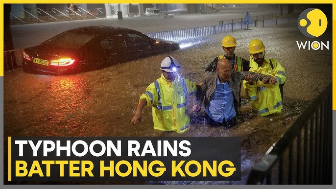
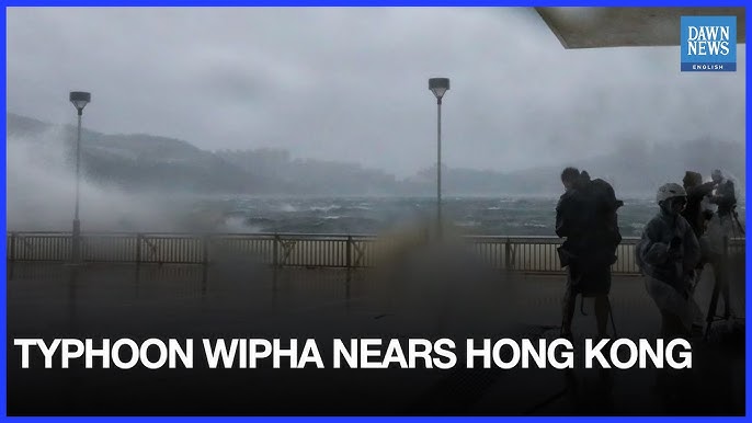
Hong Kong endured torrential rain and hurricane‑force gusts—over 110 mm fell in just three hours, and wind speeds topped 167 kph. Authorities raised the Typhoon Signal No. 10 for nearly seven hours before downgrading to No. 8 at around 4 p.m. and then to Signal No. 3 by 7:45 p.m.
-
Fallen trees (~471), collapsed bamboo scaffolding (notably in North Point), and 26 minor hospitalizations were reported. More than 250 residents sheltered in public facilities.
-
Public transport was largely halted: 400 flights affecting 80,000 travelers were disrupted, ferries suspended, and most MTR bus and train services paused. Cathay Pacific canceled flights between 5 a.m. and 6 p.m., offering change‑fee waivers.
After making landfall
-
Wipha made landfall near Taishan, Guangdong province, around 5:50 p.m. on July 20, then weakened to a severe tropical storm.
-
Heavy rainfall and strong winds are forecast to continue across southern China (Guangdong, Guangxi, Hainan, Fujian) with risks of flash floods and landslides through Tuesday morning. The system is expected to intensify briefly over the Gulf of Tonkin before hitting northern Vietnam on Tuesday.
Regional context
-
Wipha is the sixth tropical storm of this Pacific season, previously passing over the Philippines and south of Taiwan, where it already disrupted flights and ferry services.
-
As of July 21, southern China—including cities like Yangjiang, Zhanjiang, and Maoming—is under alert for ongoing storms.
More information below..